
Interactive 3D event planning map
Design your event visually on a real-world interactive 3D map. Position stages, vendors, infrastructure and operational layouts with precision using configurable event assets and live planning tools.

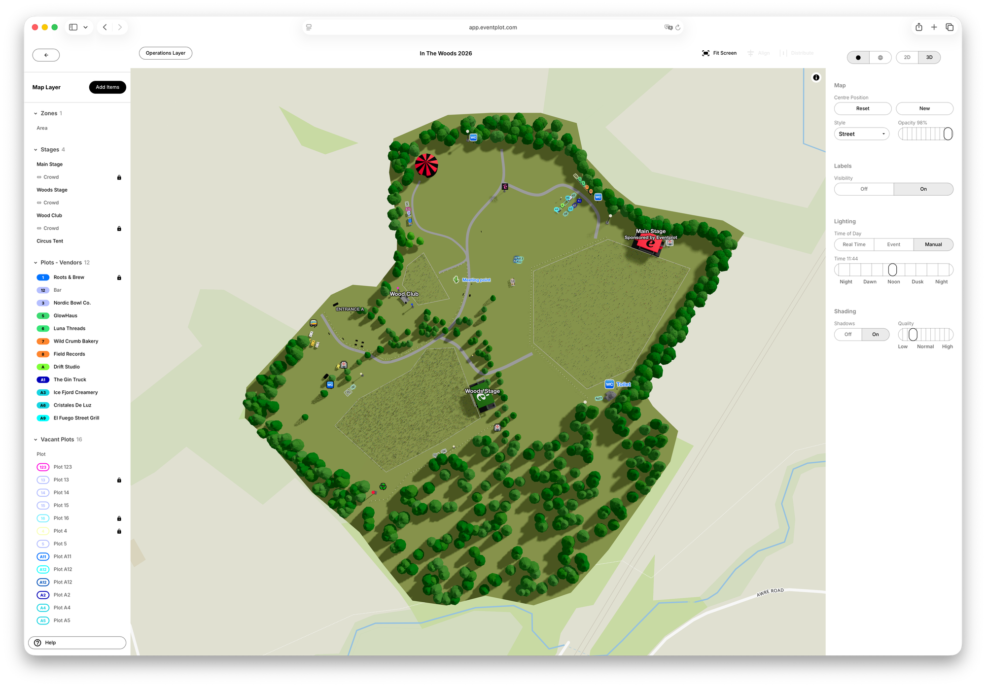
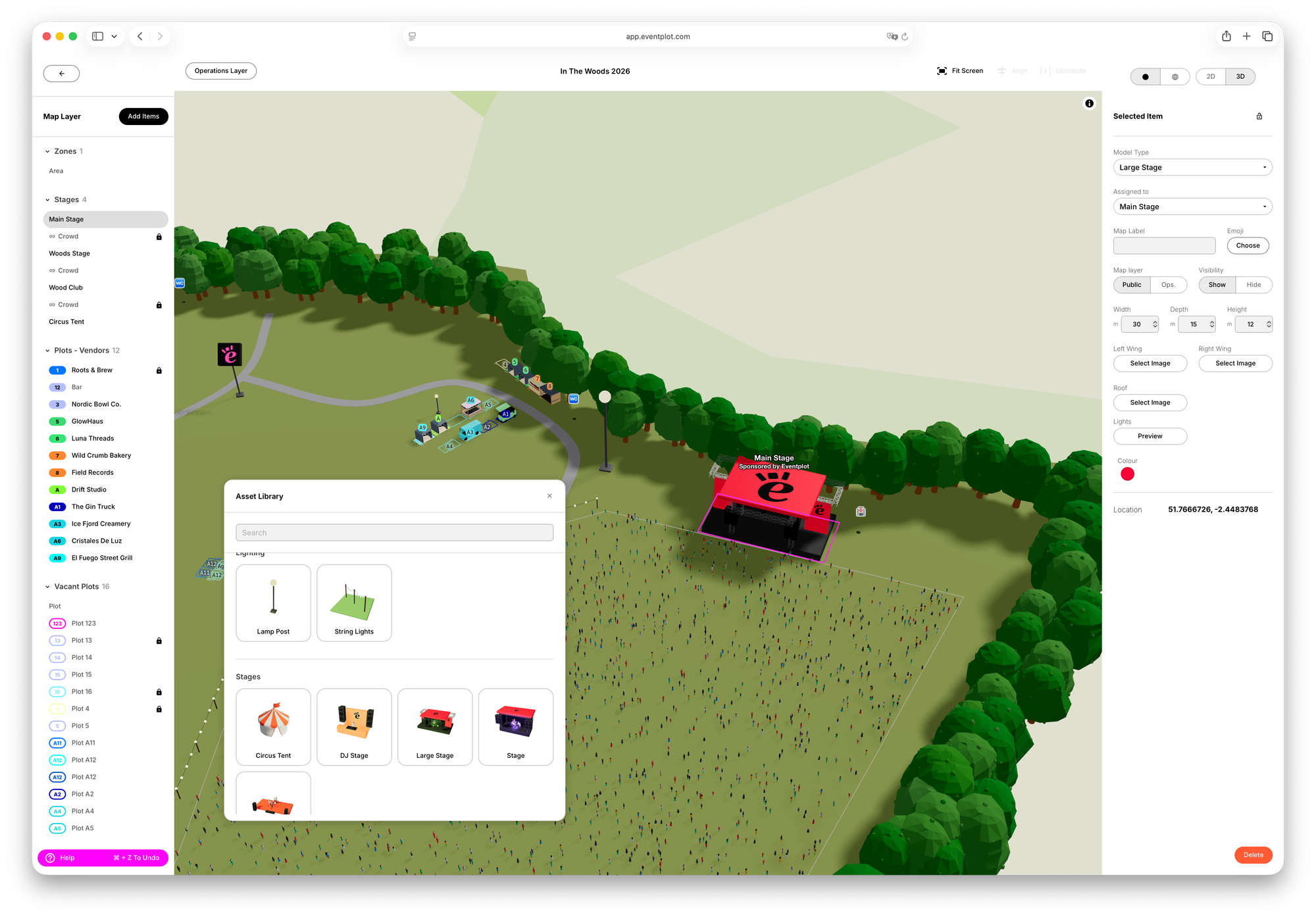
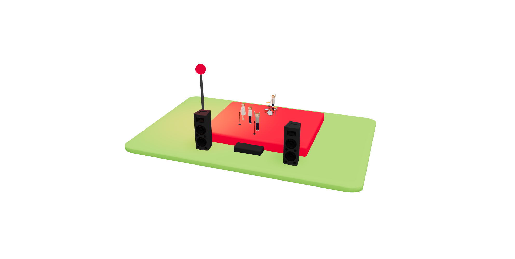
The Eventplot planning map gives organisers a powerful visual way to design and coordinate outdoor events in real-world 3D. Build festival and event layouts directly on an interactive map using configurable stages, tents, fencing, seating, lighting, food vendors, facilities and operational infrastructure.
Instead of relying on disconnected PDFs, spreadsheets and messaging threads, Eventplot helps teams plan visually making layouts easier to understand, update and evolve as the event grows.
Features
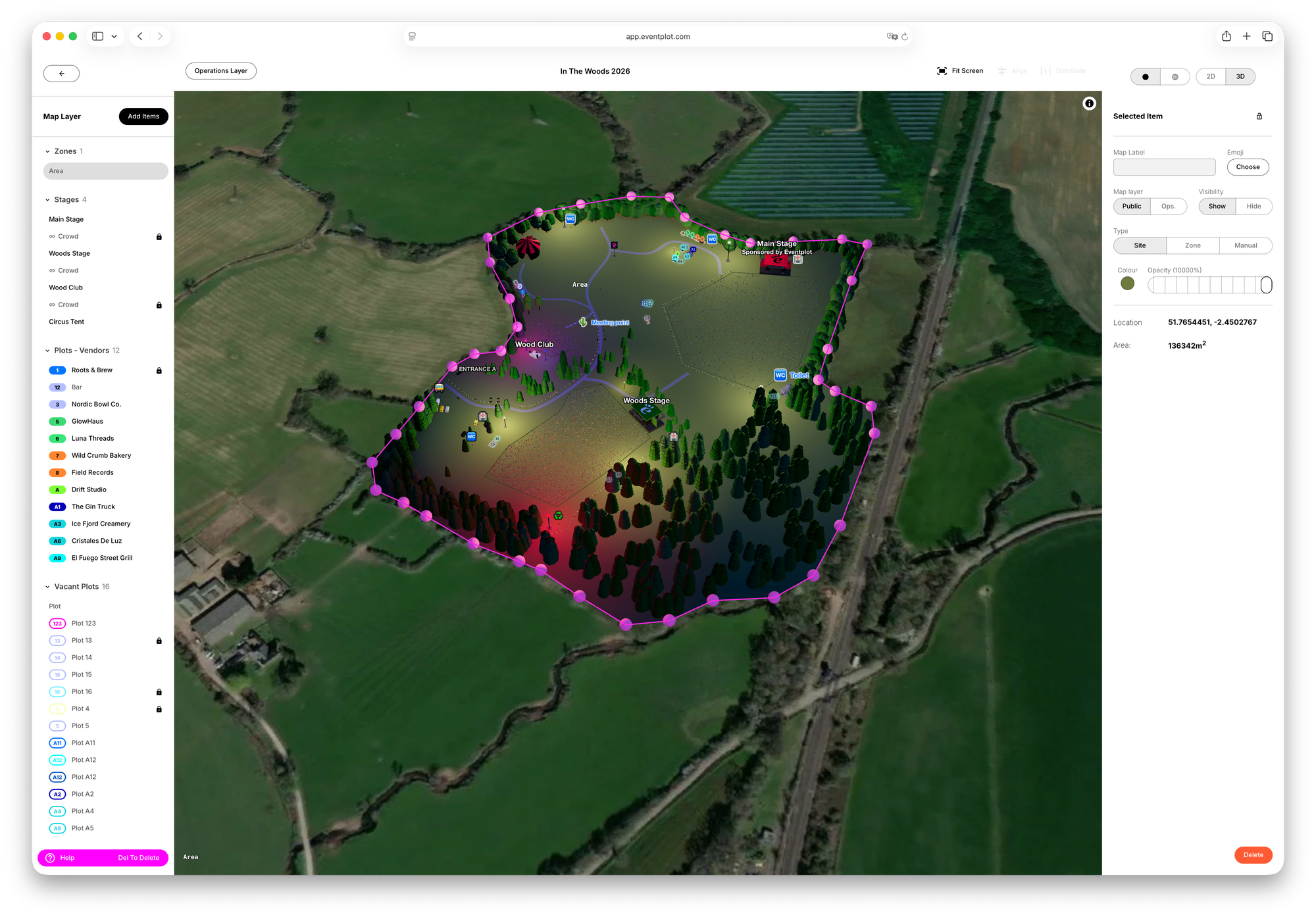
- Plan on a geographically accurate interactive 3D map of your real event site
- Position stages, vendors, facilities and infrastructure with precision
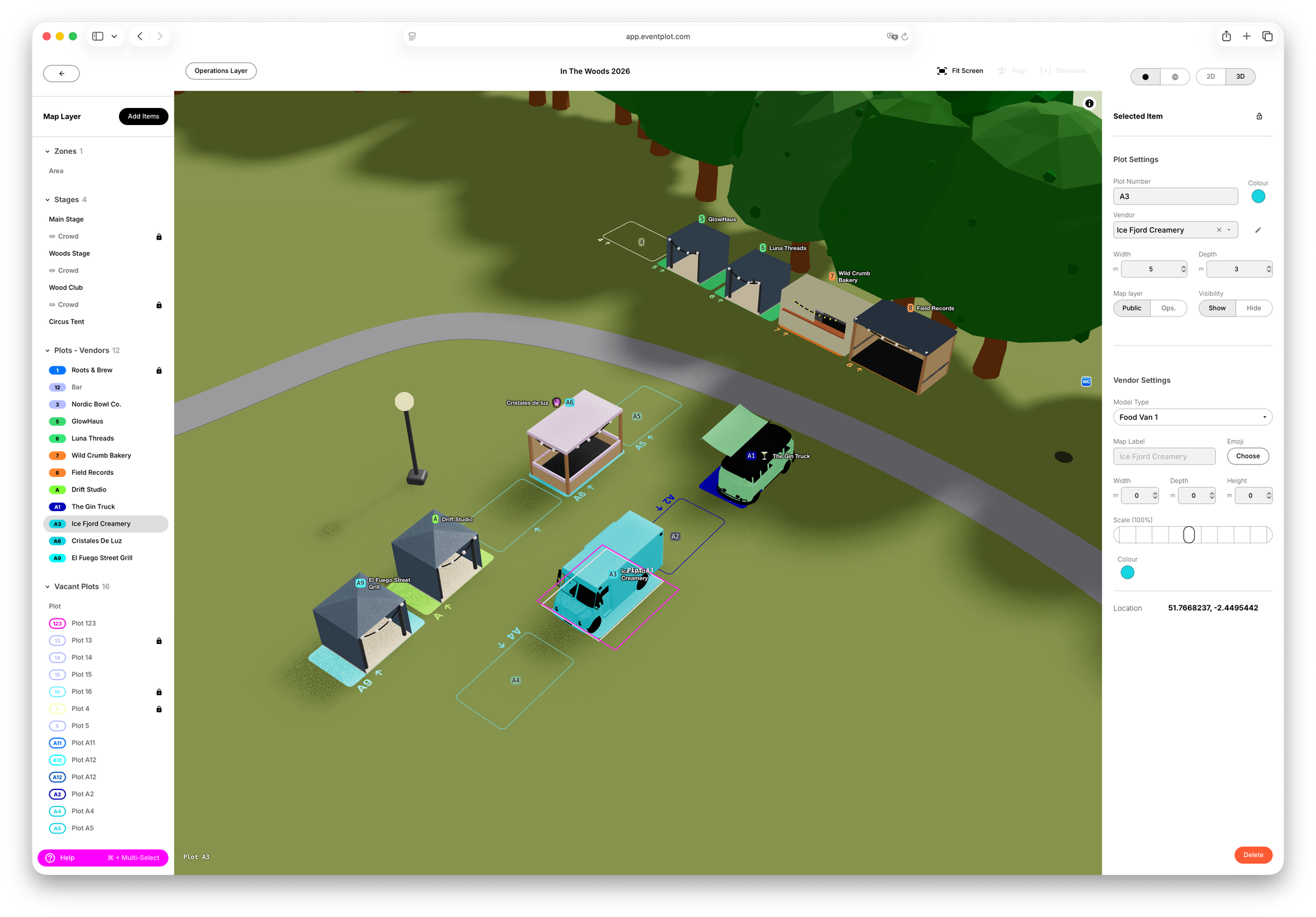
- Use a growing library of configurable parametric 3D assets: from stages and tents to food trucks, fencing and trees
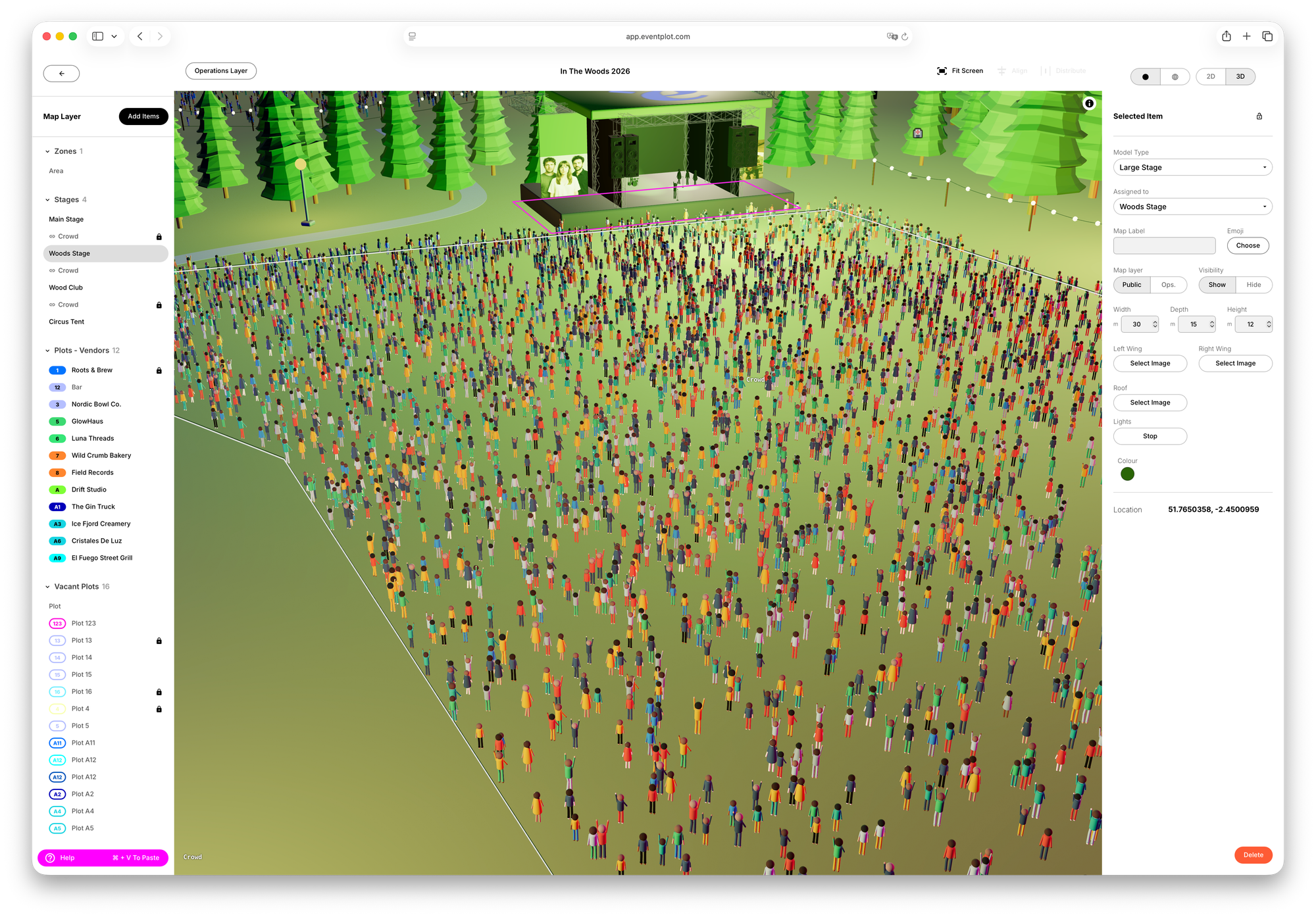
- Add lighting, atmosphere and crowd visuals to explore the full event experience
- Link vendors, performers and schedules directly to locations on the map
- Update layouts in real time while keeping planning, operations and attendee maps connected
Built for real festivals, food events and outdoor productions, the planning map is more than just a visual tool. It becomes the foundation of your entire event, connecting layouts, operational planning and attendee experiences from first draft through to live event day.
Built for Real Event Layout Planning
Eventplot includes a growing library of configurable parametric 3D assets designed specifically for outdoor event planning. Position stages, tents, fencing, lighting towers, seating, food trucks, facilities and operational infrastructure directly onto your event site with accurate scale and positioning.
Many assets can be adjusted visually in real time, helping organisers explore layouts, crowd flow, spacing and operational logistics before the event goes live.
From small community events to large festival sites, the planning map makes it easier to build realistic event layouts that are both operationally practical and visually clear.
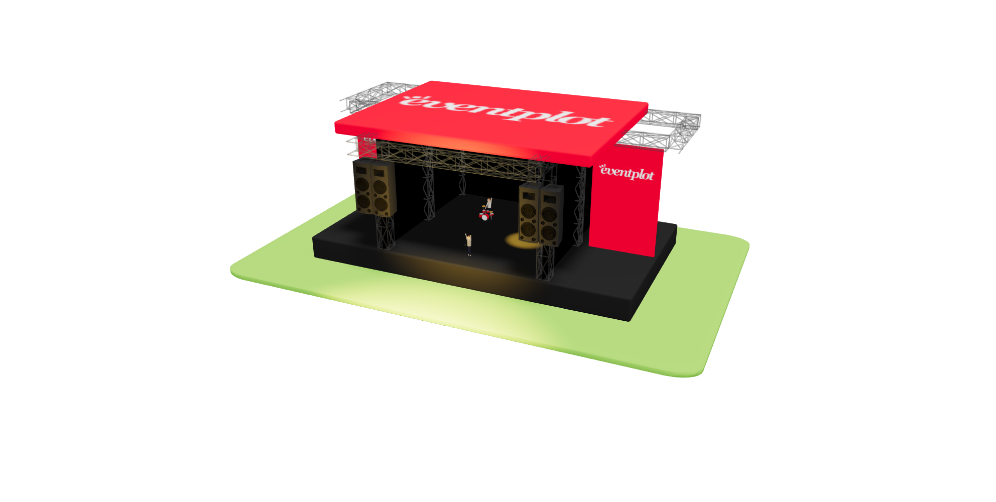
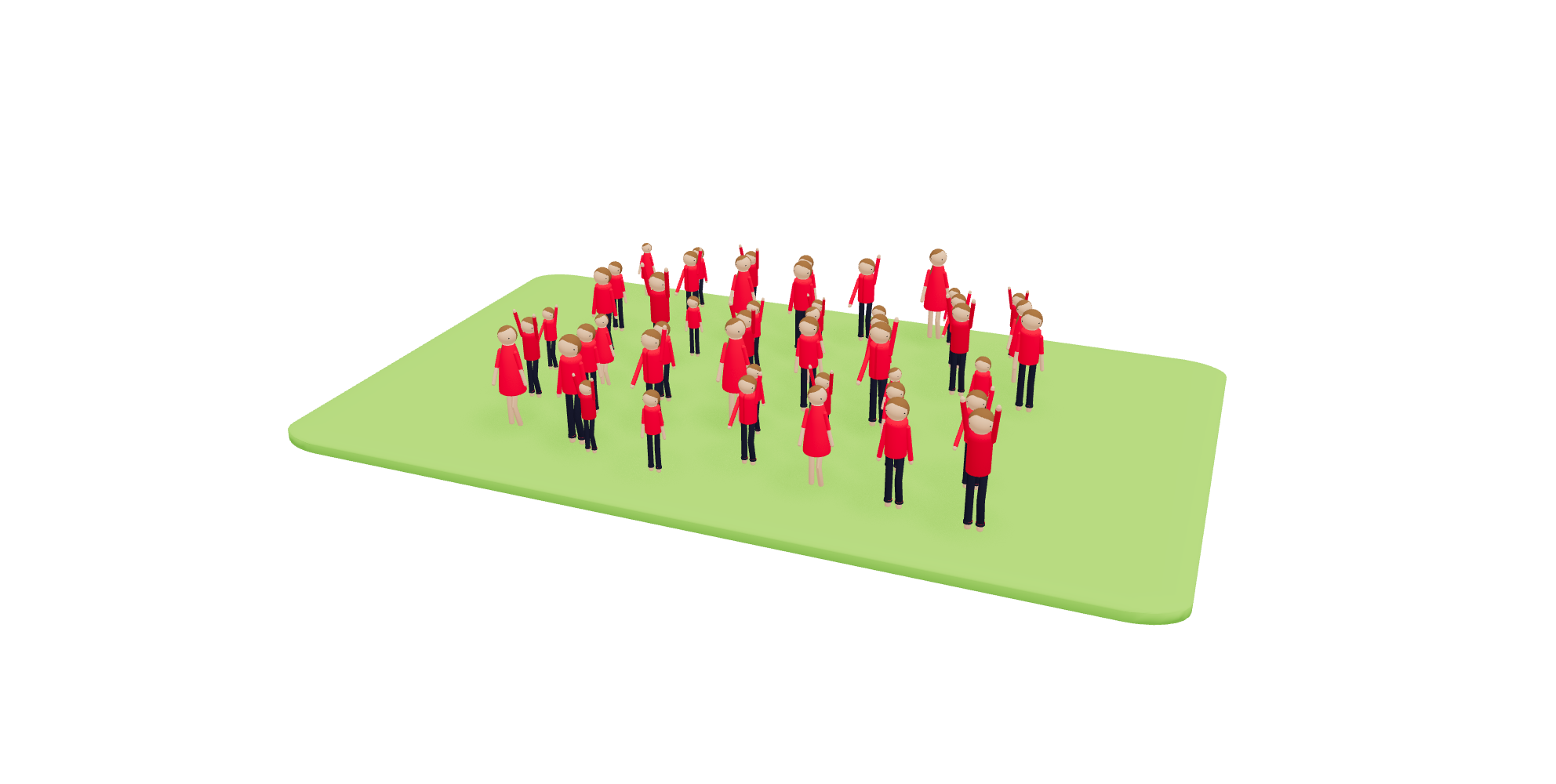

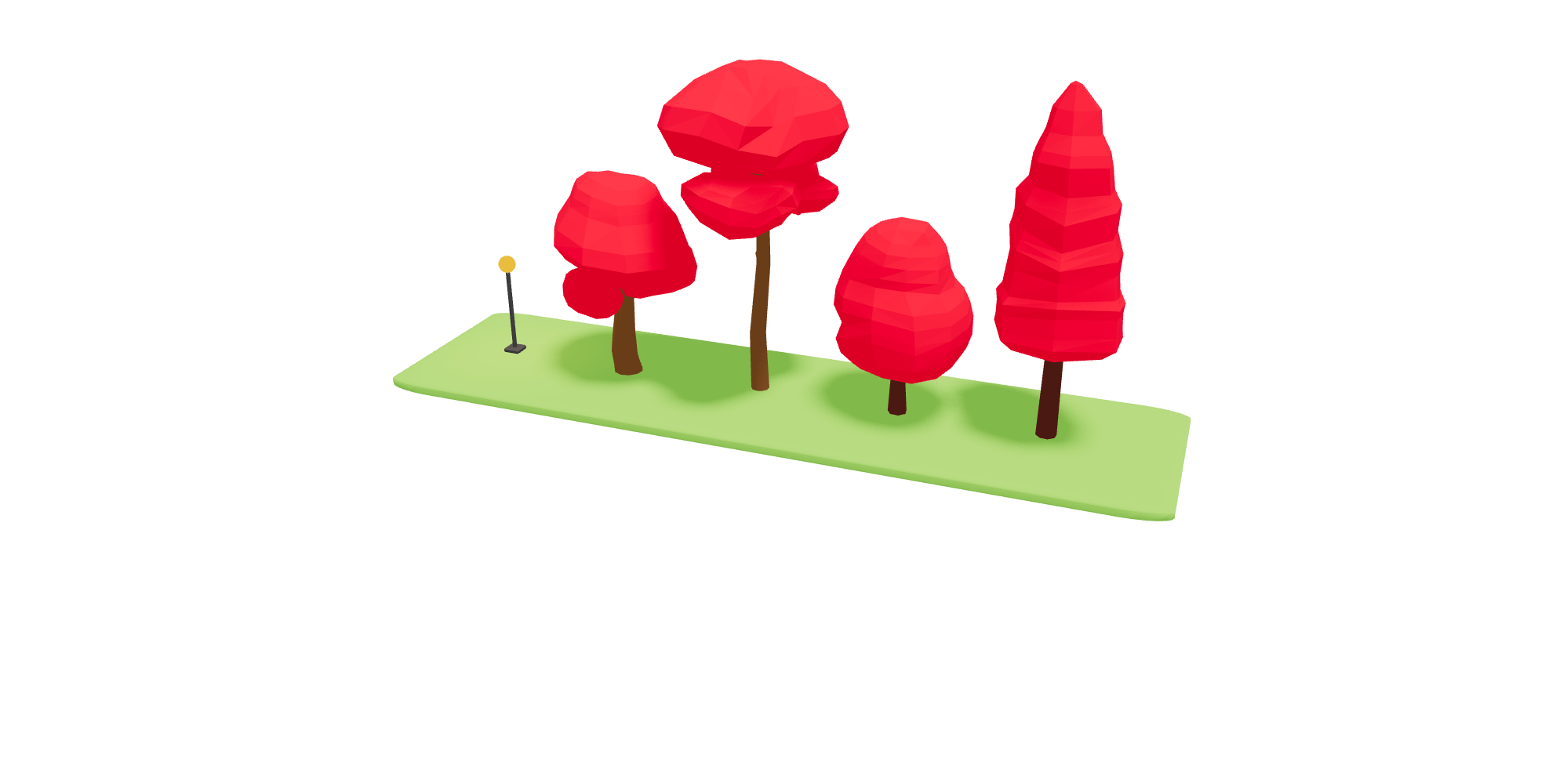
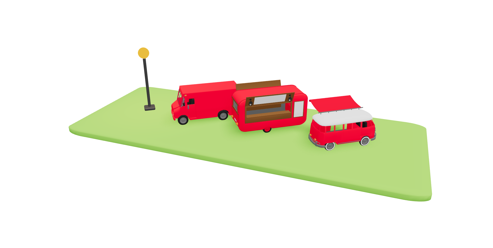
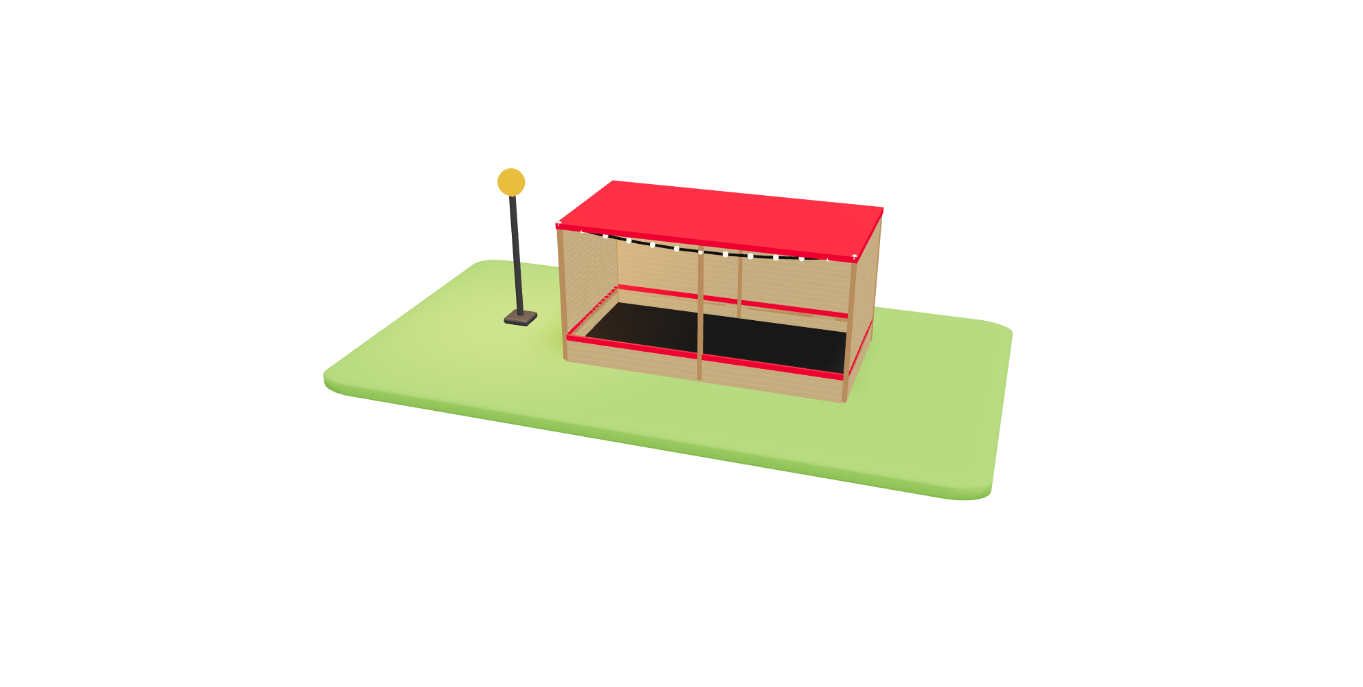
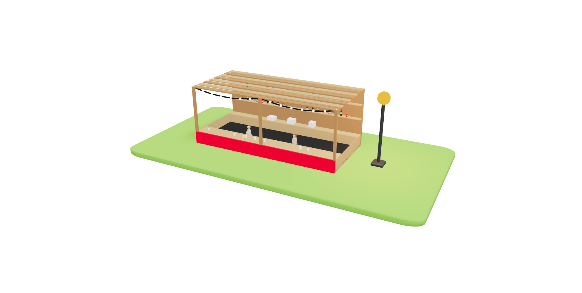
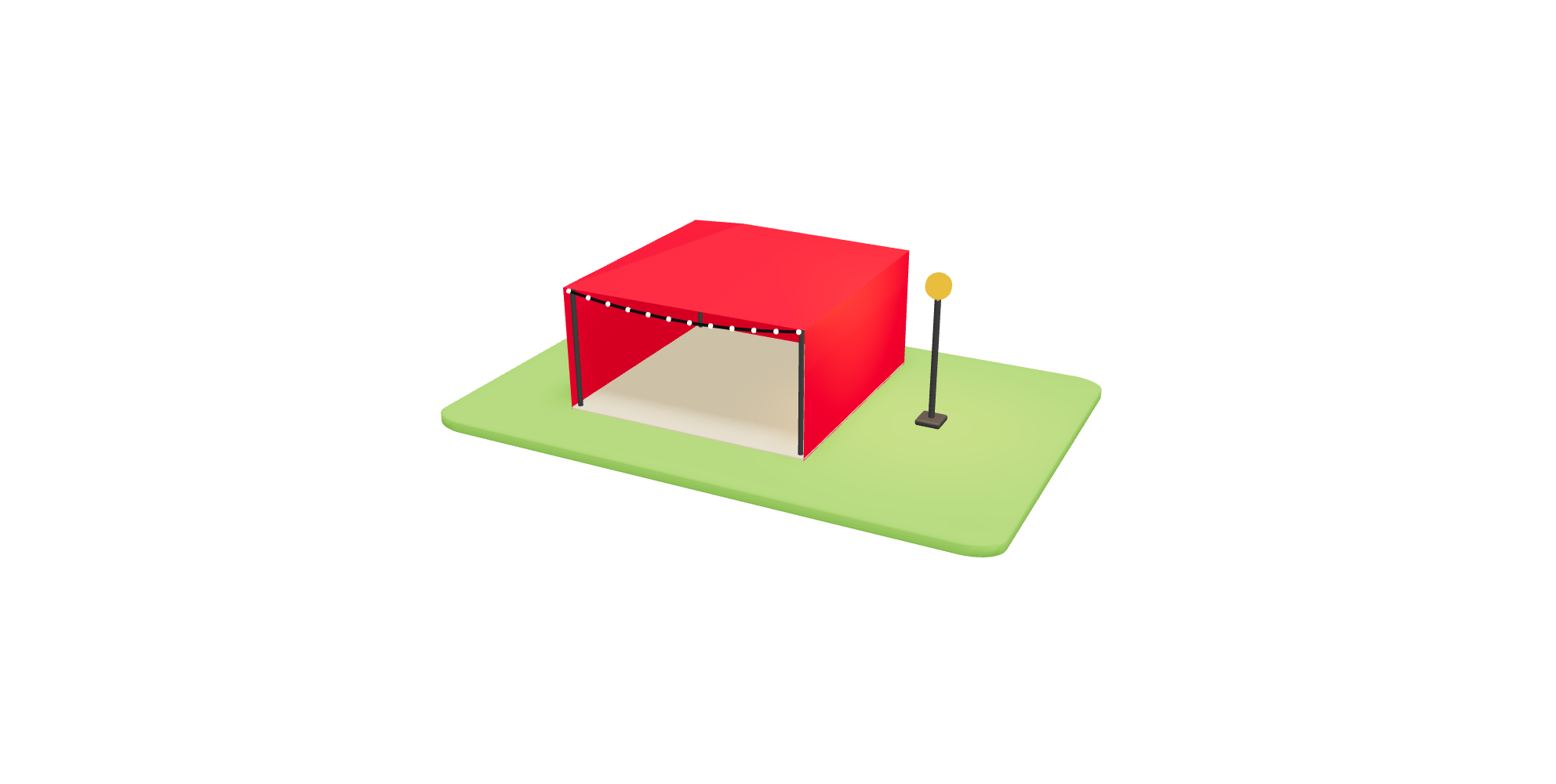
A selection of some of the 3D assets available for the planning map.
Eventplot is built for real outdoor events, festivals and live productions and the platform continues to grow alongside the industry. We’re constantly expanding our library of configurable 3D event assets and working with organisers and venues to create new models, layouts and planning tools for real-world events.
From small community festivals to large multi-stage productions, Eventplot helps teams visually plan, coordinate and publish connected event experiences from one interactive platform with stages, vendors, infrastructure and attendee maps all staying in sync as your event evolves.


